Like hundreds of irrigation districts around the west, Collbran Conservancy District provides water for farms and ranches, mostly via infrastructure engineered and built in the early 20th Century.
The hundred-year-old systems were, for the most part, smartly designed linchpins that unlocked much of the arid west to highly productive agriculture that continues today.
Today, the major concern is the Parker Basin Slide, an enormous maw eating into a steep slope and creeping upwards to within a hundred feet of the critical South Side canal and syphon.
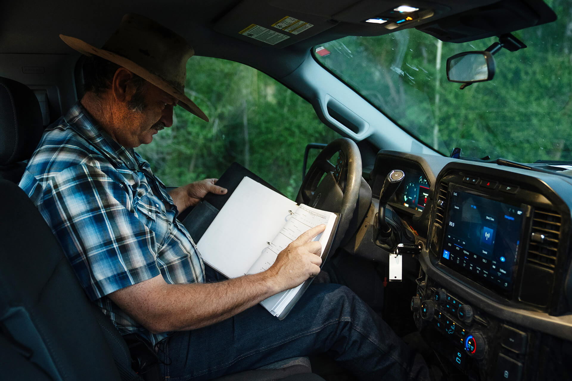
Nearly ever summer morning, Bruce Michaelsen drives into the pre-dawn dark, a few thousand feet above the Colorado River. Michaelsen’s two cattle dogs ride in the truck bed (or run just ahead of said truck). At each of the frequent stops their paws scuttle across the cab and down the hood to join Michaelsen as he measures water flow and checks for leaks in the 80-year-old canal system. Michaelsen’s dad was what irrigation people call a “ditch rider,” so he’s traveled these narrow, bumpy tracks that parallel open canals thousands of times, as a kid and now as the Collbran Conservancy District (CCD) manager.
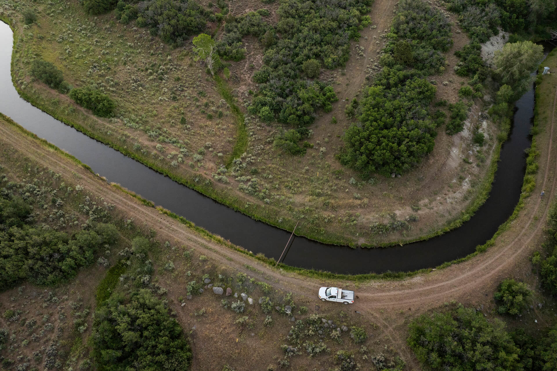
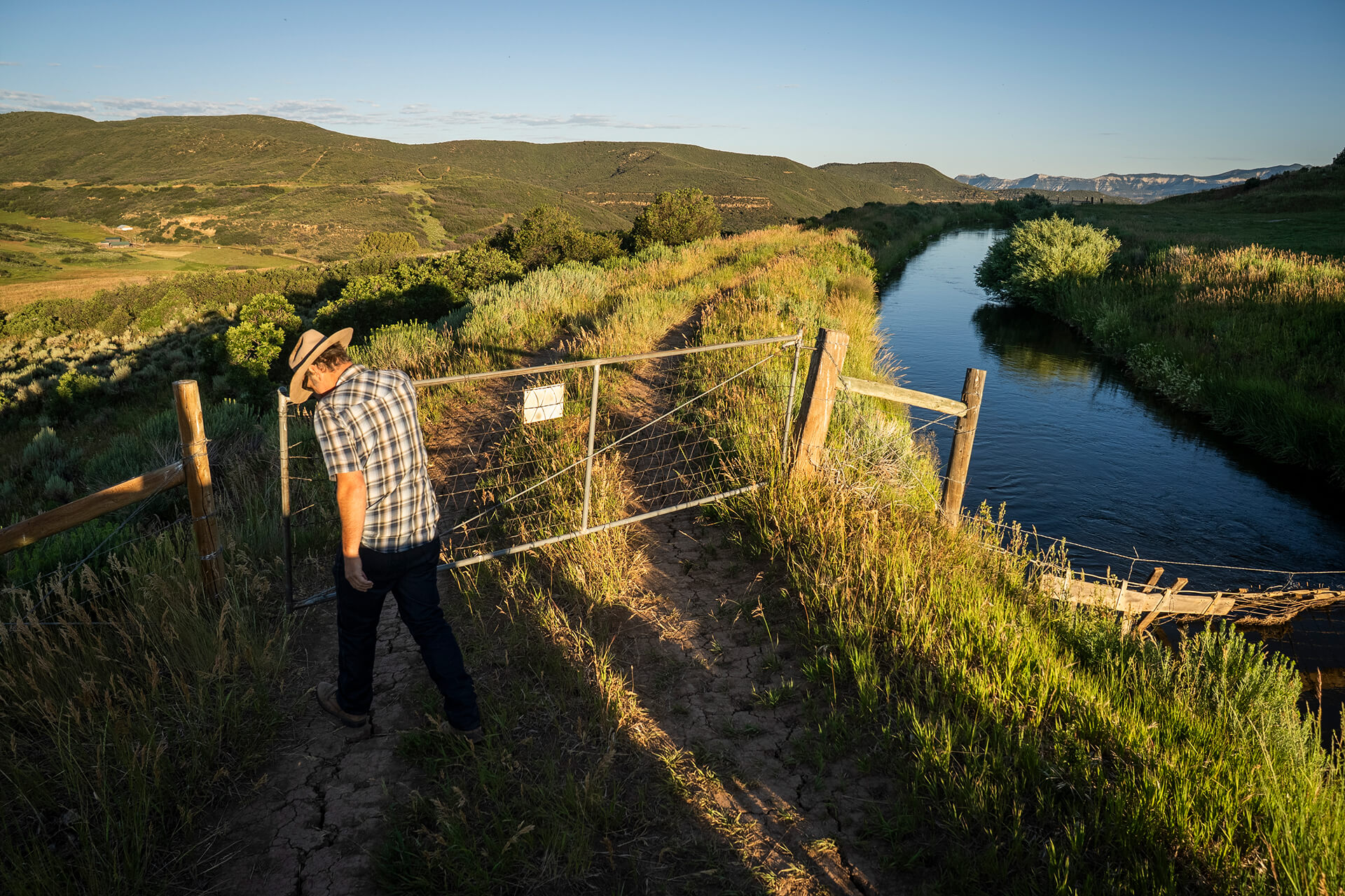
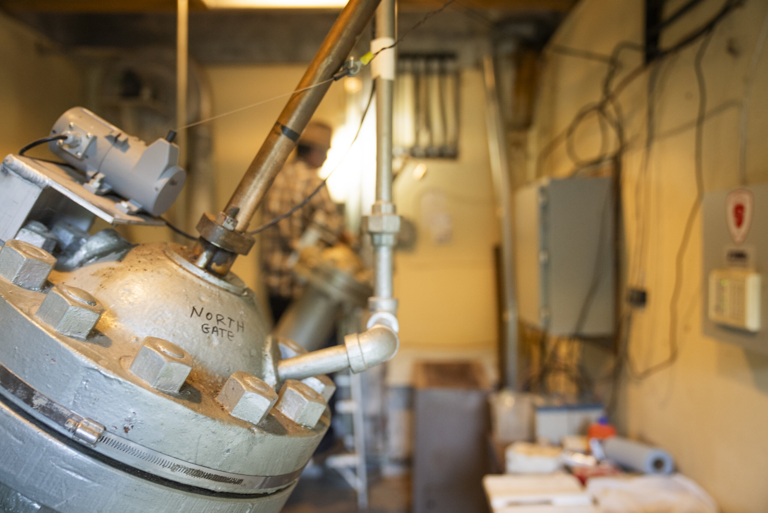
Collbran’s system is more complex than most. Feeder canals spidering off the 10,000-foot-plus Grand Mesa—the world’s largest flat-top mountain and a massive water catchment—direct water down the valley, much of it into Vega Reservoir for storage. Some canals funnel into deep syphons that carry the water through mile-long pipes buried beneath steep, high-elevation valleys.
Other, smaller reservoirs capture water that is discharged for power production managed by the Bureau of Reclamation. The excess water from the Bureau’s operation goes to the municipal supply for residents in the Grand Junction Valley, managed by the Ute Water Conservancy District (UWCD). It’s a marvel of engineering, but one that is becoming more fragile with time and the sometimes tragic geologic realities of the western slope of the Rockies.
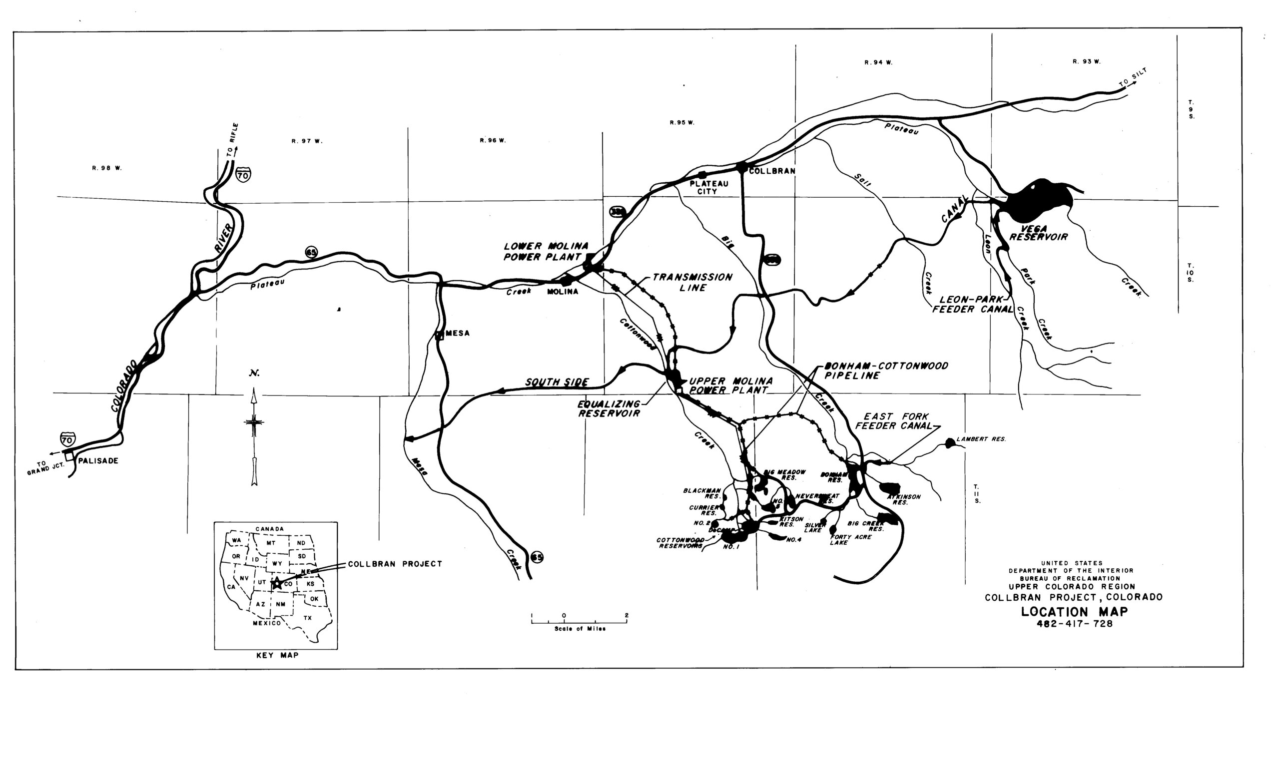
Collbran’s water delivery system is more complicated than most.
In May 2015, heavy spring rains and a small earthquake triggered Colorado’s largest landslide, a catastrophic three-mile-long slide that deposited over 120 feet of material at its terminus. The slide killed CCD Manager Wes Hawkins and Clancy and Danny Nichols, father and son of Mesa County. The men had driven up the valley to assess damages to an irrigation diversion structure resulting from preliminary slide activity. The tragedy shook the tight-knit agriculture communities of Mesa County, but the water had to keep flowing, and the CCD resumed its work.
Today, the major concern for Michaelsen and CCD, the Bureau of Reclamation, and UWCD, is the Parker Basin Slide, an enormous maw eating into a steep slope and creeping upwards to within a hundred feet of the critical South Side canal and syphon.
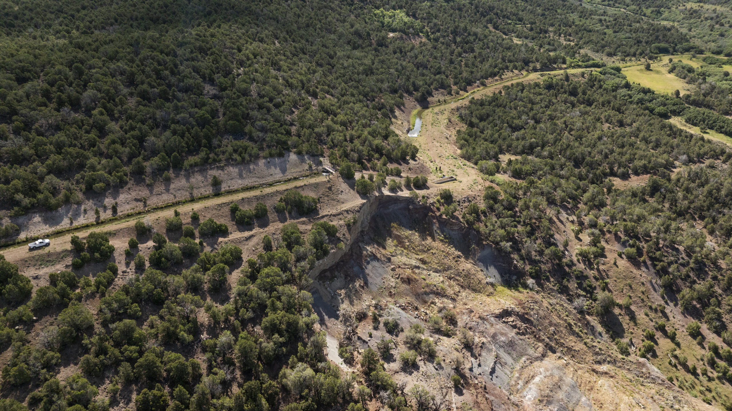
“Every year, it keeps working back a little bit,” Michaelsen says, “and eventually it’s going to get within where we may have to shut the canal down, or it may wipe out the canal. Over half of our users are downstream below this point.”
“You’d have implications everywhere,” says the Bureau of Reclamation’s Matt Altman, “from recreation to potable water to just having to shuffle around the way that we would deliver water to water users and irrigators, and we would become very limited as to what we would do. And the big thing, for Reclamation, is that we would lose that power revenue.”
Dave Payne of Ute Water Conservancy District, whiche relies on water that has passed through the Bureau of Reclamation’s power operations as a clean, reliable source of municipal drinking water, remarked “We want to work together with Collbran Conservation District proactively, not reactively, prior to a catastrophic failure of the South side in this location, which would be a multi-year shutdown event for us and for them.”
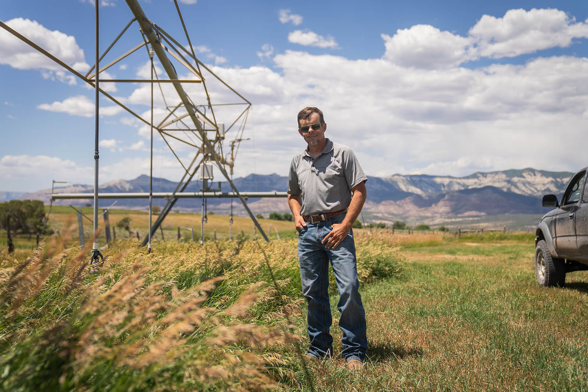
Forrest “Forrie” Towns has been raising hay and cattle in the CCD for over 30 years. He operates downslope of Michaelsen’s morning ditch rides.
He and farmers like him put in water orders measured in acre feet. 10-24 hours later the water arrives down one or another of the smaller canals that braid off the main feeder canals or natural creeks that are also part of the water conveyance system.
Towns drops V-shaped weirs (metal partitions) into narrow, weed-choked channels. The weirs create a small dam in the channel and allow for Towns to accurately measure his water order.
It’s a combination of an old-school metering system and the best technology available, and it’s used in many parts of the rural West.
“As soon as the natural flow goes out, we put in a card to order our reservoir water,” Towns explains. “It’s turned into the South Side Canal, [then] comes around to the Big Creek drainage drop. At that point, it is turned into this place via the Silver Gage ditch, it bounces through a couple of proportional divider boxes till it comes to a corner over here and it goes into our inlet structure. From there, on this 80 acres, we run a center pivot. We run big guns. There’s a side roll sprinkler, and there’s even some gated pipes.”

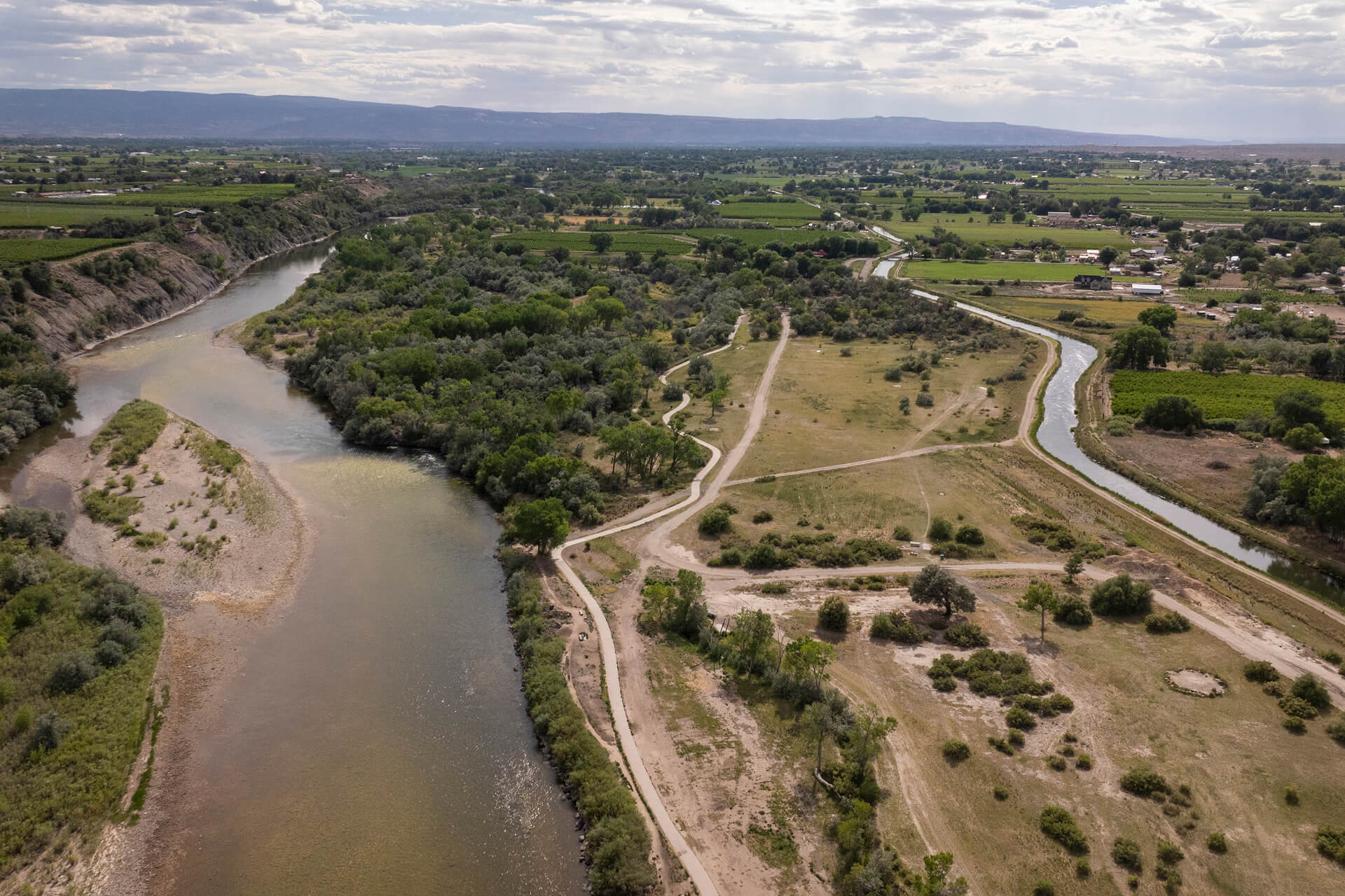
Ultimately, the water working its way downhill reaches the Colorado River above Palisade, CO, a small town at the base of the western slope where the Grand Junction Valley begins.
Peach orchards and farm stands sell the produce from local farms. Peche, a James Beard Award finalist, serves gourmet, local farm fare in a modern urban setting.
The Colorado River flows a few blocks south, paralleled by the TK Canal that carries water TO TK FROM TK. All of it relying on the 80-year-old canal infrastructure.
“Everybody sees us deliver the water,” says Michaelsen, “but there’s so much more that goes into it. It’s the driving along the canal, checking for the cracks. It’s like you go to the restaurant and you get the food on your plate, but you’re not seeing all the work. So when we make water deliveries, that is just the small part of it. There’s a lot of man hours that goes into getting the orders done, making sure the canal is safe and operable, making sure we’re catching all these failures before they get damaged or we completely lose the canal.”
Modernization can’t wait.
Restoring the Hood River Watershed
Ditching the Ditch-Walking Way of Life

Planning for the Next 100 Years of Water Delivery